July
Heading North
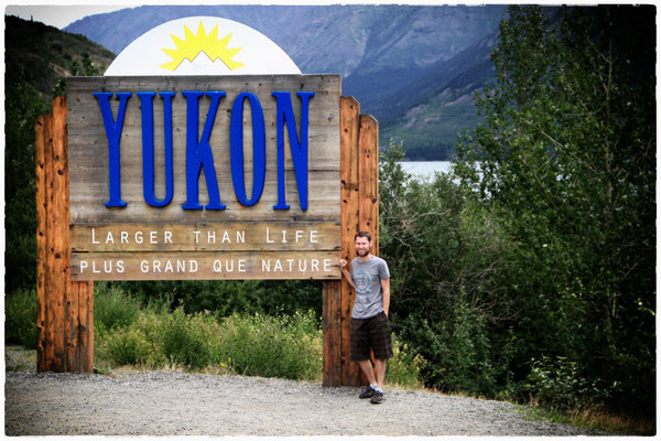
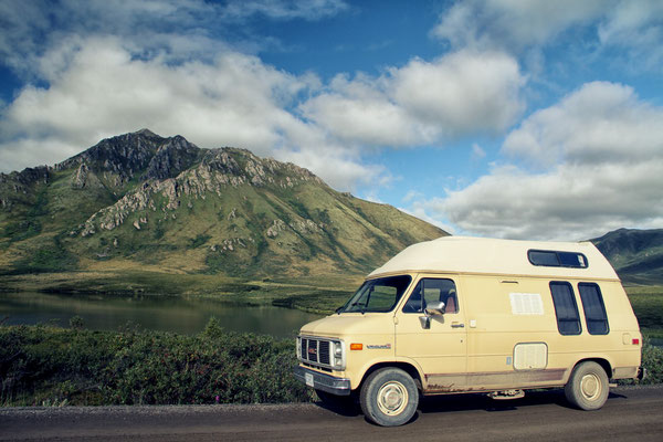
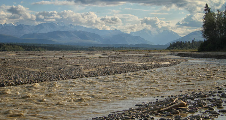
After a small Canada Day Parade in Stewart, we headed north on the Stewart Cassiar Highway. The vague objective was the Tombstone Territorial Park near Dawson City in the beautiful Yukon Territory...
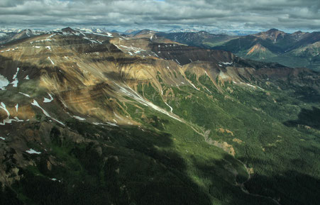
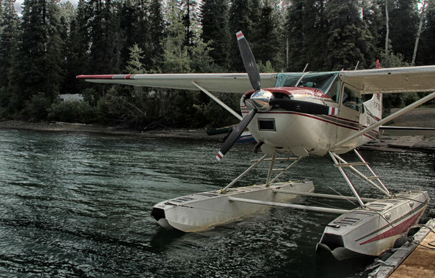
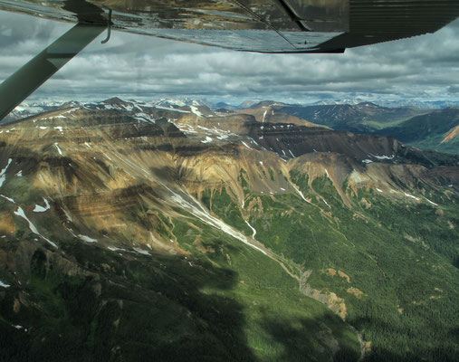
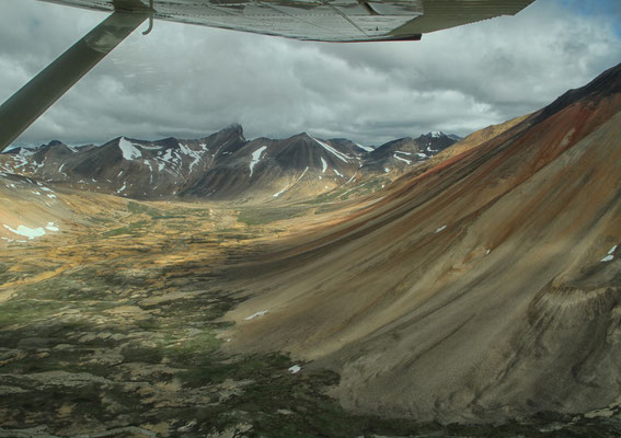
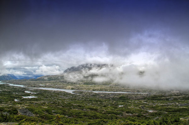
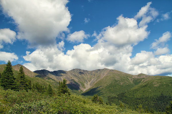
Near Tatogga Lake Resort, I took a short scenic flight over Mount Edziza Provincial Park. The park covers over 230,000 acres of the Tahltan Highlands in northwest
British Columbia. The whole area is an impressive volcanic landscape with basalt plateaus, ash fields and cinder cones. Mount Edziza itself is 2,787 meters high and a composite volcano consisting
of thin basaltic streams and a central dome with a glaciated crater of almost 2,500 meters in diameter. The last basalt stream flowed through this region, only 10,000 years ago. The aborigines
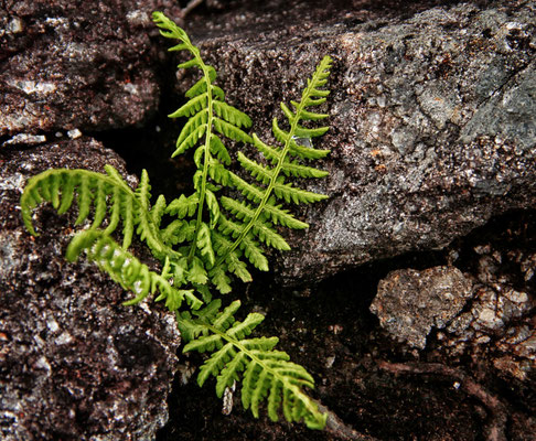
made cutting blades and projectile tips from the obsidian (volcanic glass). If you want to hike in this Provincial Park, you should have some experience in backcountry hiking...
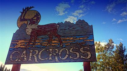
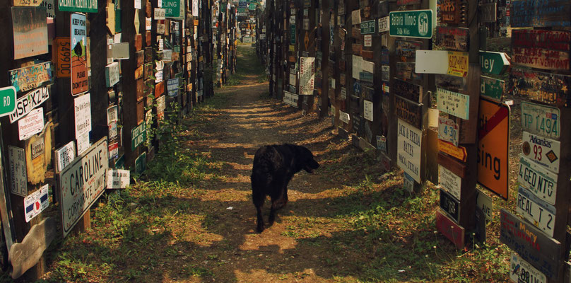
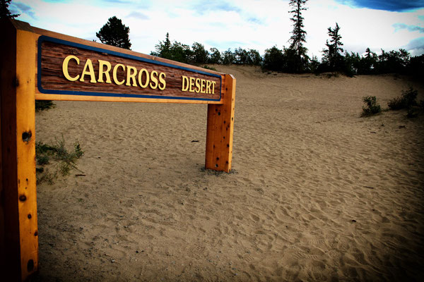
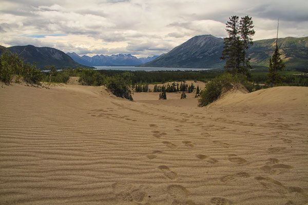
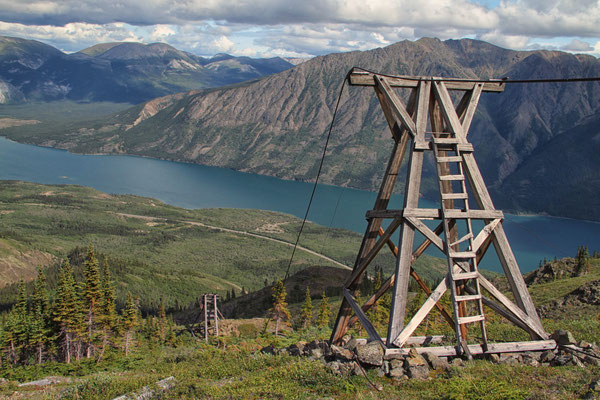
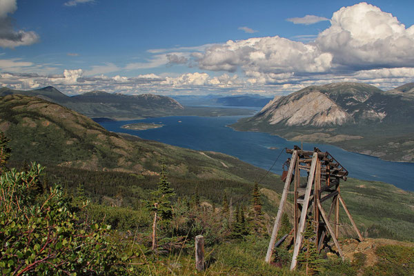
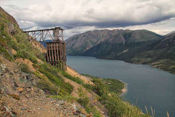
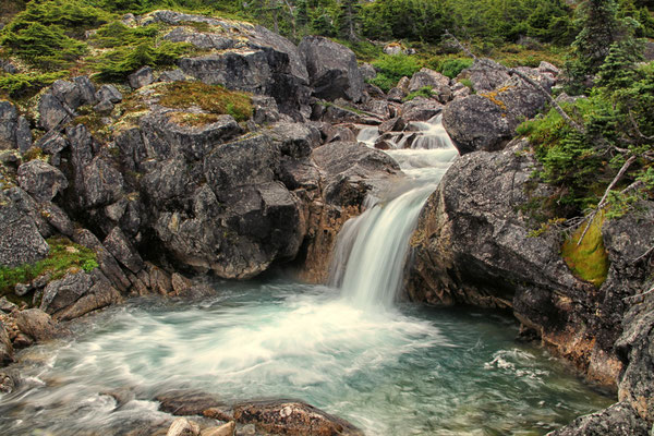
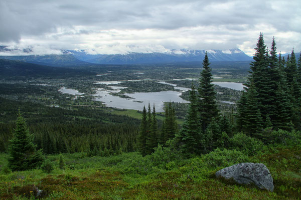
A very nice stopover I made in the small town of Carcross on Bennett and Nares Lake. The name derives from the migration of reindeer. They used a natural land bridge between the two lakes. The name "Carcross" is a short form of Caribou Crossing. It was originally a camp of the inland Tlingit and Tagish, who hunted here already 4,500 years ago for which old findings provide proof. Around 1896, during the Klondike Gold Rush, life here changed rapidly as many prospectors used the place to travel to the gold mines in Dawson City. Right next to Carcross lies the smallest "desert" in the world. The sand comes from dry glacial lakes. The 2.6- square kilometer area is located in the rain shadow of the surrounding mountains. As a result, special climatic conditions prevail and it is possible that for this region, untypical plants such as the Yukon Lupine flourish. There are many beautiful hiking trails in the area around Carcross: on the Sam McGee Trail you can find old silver mine artifacts and the remains of an old cable car. The Trail of the International Falls in the White Pass region, a little further south on the border with Alaska, is located in an alpine area with many waterfalls along the trail...
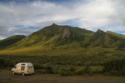
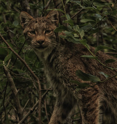
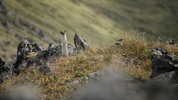
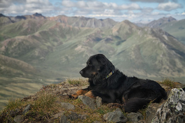
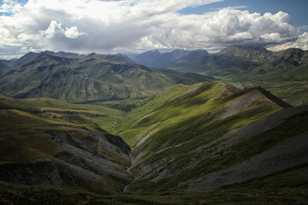
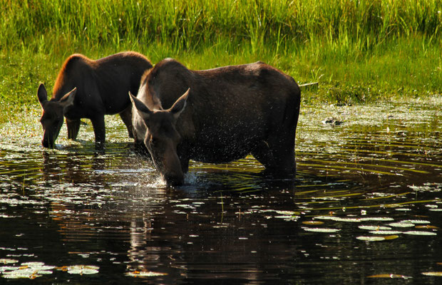
A little further on, I reached my northernmost destination: the 2,2000 square kilometer Tombstone Territorial Park. It protects a unique wilderness with rough peaks, permafrost and a very special wildlife. Here you can meet the Big Five of Canada in untouched wilderness. There are Dall sheep, two different types of reindeer, moose, black and grizzly bears. The park is also known for over 150 species of birds, including gyrfalcon and golden eagles. The Tr'ondëk Hwëch'in ("people living on the Yukon River") and other First Nations peoples have been present in this area for at least 8000 years, attesting to nearly 80 archaeological sites. Together with the government of Yukon, they manage this park. There is also a very interesting visitor center, the Tombstone Interpretive Center. The nice staff informs people about trails, the weather, sells hiking maps and the delicious "Mountain Wild" tea. The numerous boards give a good insight into the life of the First Nations of the area. Also the interesting guided tours should not be missed. The Tombstone Park is a true paradise for Hikers. There are countless trails that want to be discovered. Directly opposite the campground starts the Charcoal Creek Ridge Trail. A beautiful trail to the mountain slopes of the Dall sheep. Or the Angelcomb Peak Trail, a hike that ultimately offers beautiful views of the East Blackstone River, many peaks and valleys east of the Dempster Highway. For those who prefer something more strenuous, try the Alpine Lakes Viewpoint Trail. The strenuous climb is rewarded with an indescribably beautiful view. With a little luck, reindeer can be found in this alpine area.